KANSAS CITY, Mo. (KCTV) – We transition from bursts of snow Friday to a blast of arctic air and breezy conditions for much of the weekend. A First Warn is in place for wind chills in the single digits for more than half the weekend, making it hazardous to spend time outdoors.
Light snow showers will continue until around 1 a.m. Saturday morning, with a light dusting to about 0.5 inches possible on the ground when you wake up later Saturday morning. Isolated higher amounts are possible. Once that clears, expect partly cloudy skies and cold conditions as we head into Saturday.
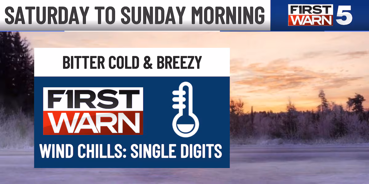
First Warn Saturday
A FIRST WARN is in place Saturday as sub-freezing temperatures and hazardous wind chills take over the forecast. Morning lows will be in the teens, with the Kansas City metro looking at 14 degrees to start the day. That’s also when we’ll find wind chills near 0 degrees. However, our northern areas could feel as cold as 5 to 10 below zero. A few flurries will be possible in the morning, otherwise dry the rest of the day.
While Saturday will bring some sunshine, wind chills will be in the single digits all day long. Afternoon high temperatures will only max out around 20 degrees, making Saturday the coldest day of the year so far. Most areas will remain in the teens for high temperatures. Keep in mind, it will also be a breezy day as winds will be sustained between 10-15 mph gusting to 30 mph.

Make sure that you are staying inside when possible, but if you have to go outdoors then wear multiple, loose layers, hats, mittens, and warm socks and shoes. The First Warn will continue into Sunday morning as the weekend’s cold snap makes its grand finale.
SUNDAY: Low temperatures begin in the single digits and wind chills in the -5 to 0 degree range. Thankfully, sunshine will bring a quick warm up and places afternoon temperatures in the low 40s. Don’t get too comfortable, though. Another cold front Sunday night brings another dramatic cool down into the work week.
Monday and Beyond
Monday will start in the teens and only reach the mid-20s by afternoon. The good news? Winds will be weaker, so wind chills won’t be as dangerous as Saturday. You’ll still need your winter coat and layers, though.
Warmer air returns Tuesday with afternoon temperatures in the 40s, and that’s how we’ll round out the work week — at or above average with plenty of sunshine. Relief is on the way.
Copyright 2026 KCTV. All rights reserved.